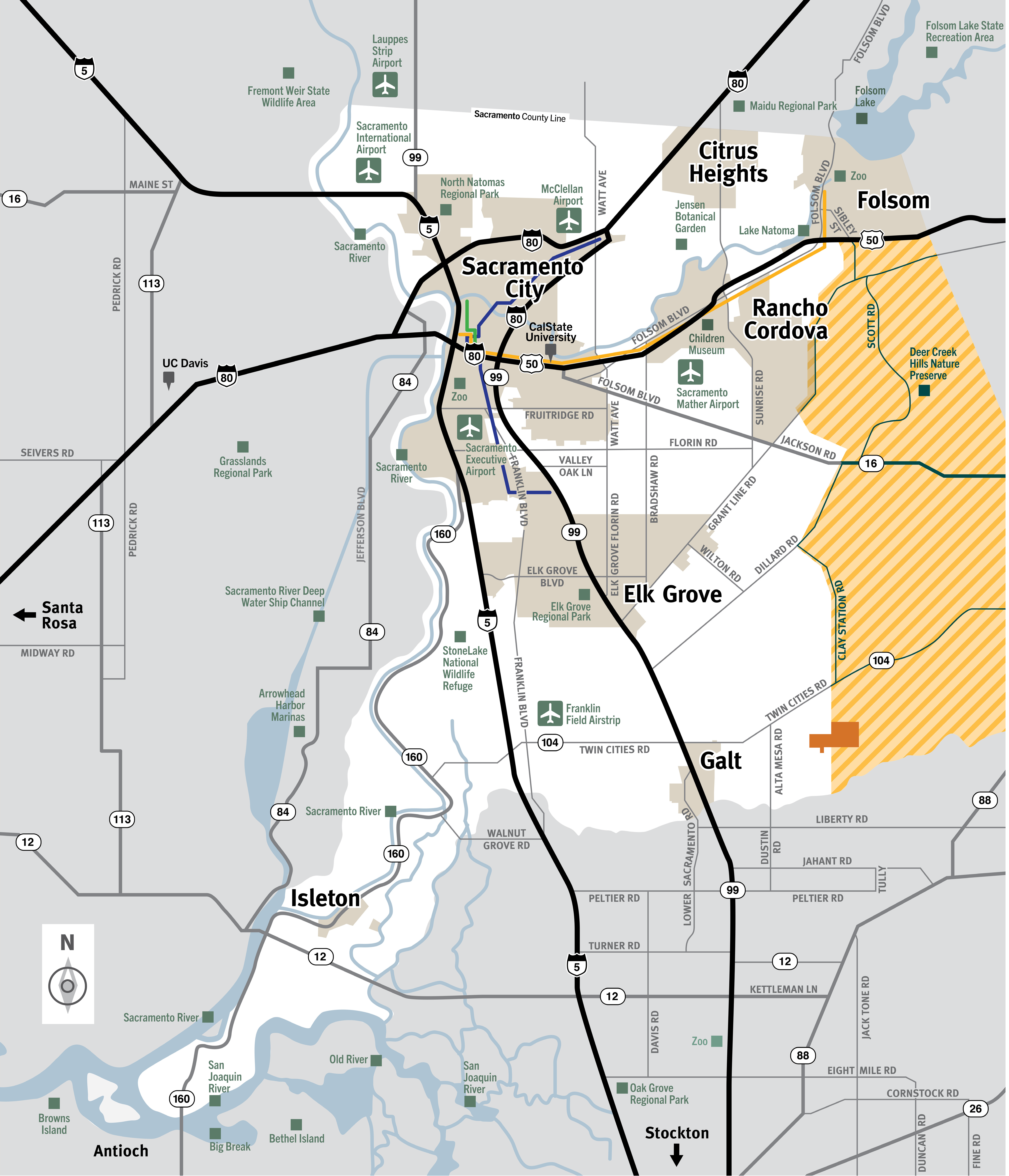
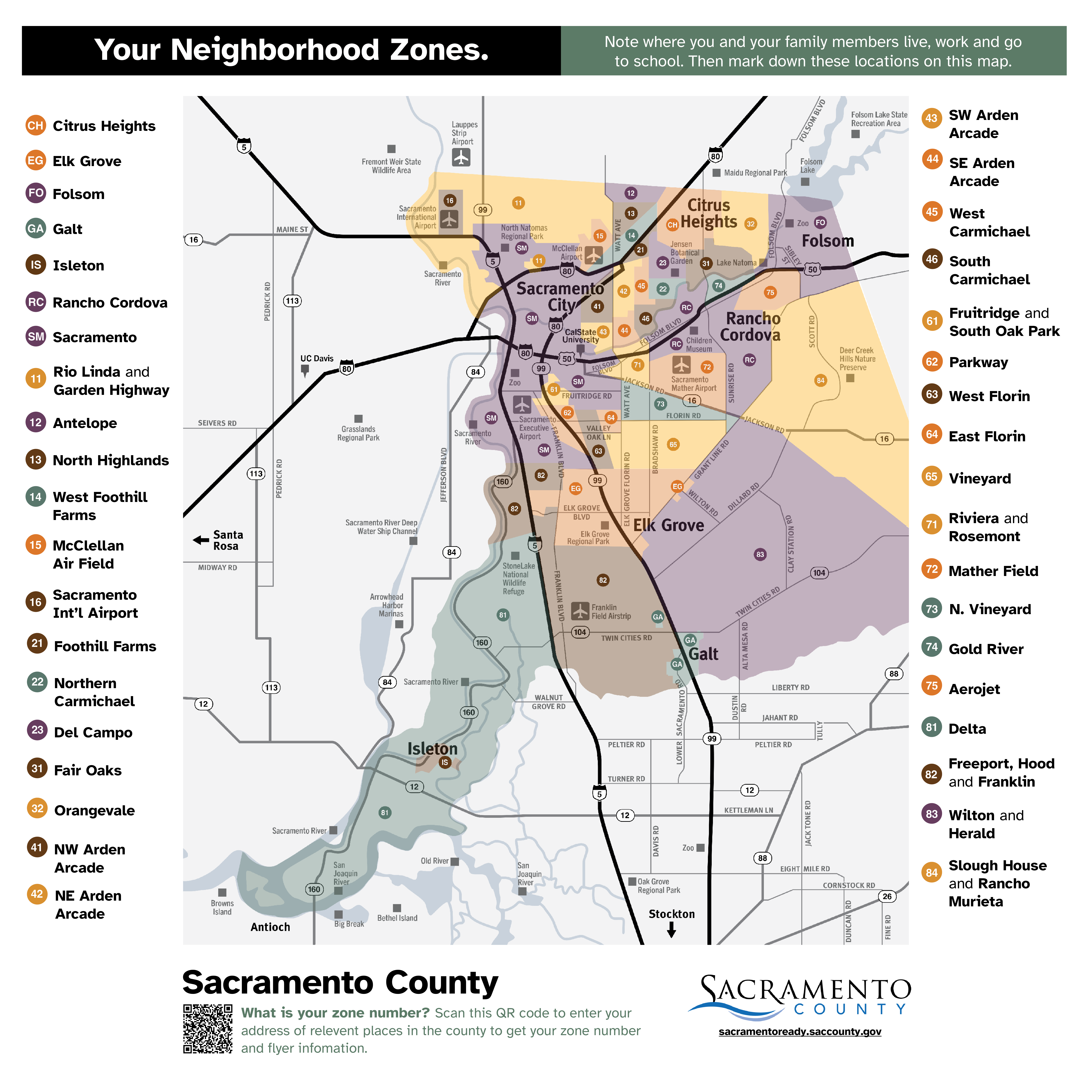
Know Your County
Public safety officials will attempt to notify residents when evacuation is necessary, but this is not always possible. Advance preparation and situational awareness are required.
Use this interactive Map to Find Your Evacuation Zone

Know Your Evacuation Zones
Note where you and your family members live, work and go to school. Sacramento County Office of Emergency Services, incorporated cities, and other partners worked together with FireClear and Dewberry to develop improved evacuation maps and messaging for Sacramento County residents.

Evacuation Warning
An Evacuation Warning means that there is a danger to life and property. People should use this warning to get ready to evacuate. Those who need additional time should leave when the warning is given, rather than wait for an Evacuation Order.
Evacuation Order
An Evacuation Order means you must evacuate now. Staying could result in loss of life and/or slow the work of responders. An Evacuation order may be the only warning that you receive.
Family Evacuation Checklist
Create an emergency kit and personalize it for your family’s particular needs.
Unincorporated Zones and Cities in Sacramento County
Use the corresponding numbers below to go the that zones individual map for the unincorporated areas. Click on the City to see their evacuation maps. These maps, funded by a grant from CAL FIRE, are listed below for viewing, download and are screen reader accessible.
