Know Your Way Out
Familiarize yourself with major routes out of your neighborhood in case of a evacuation.
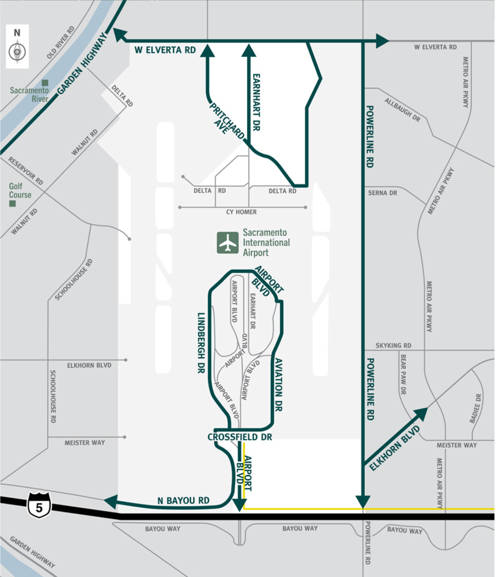
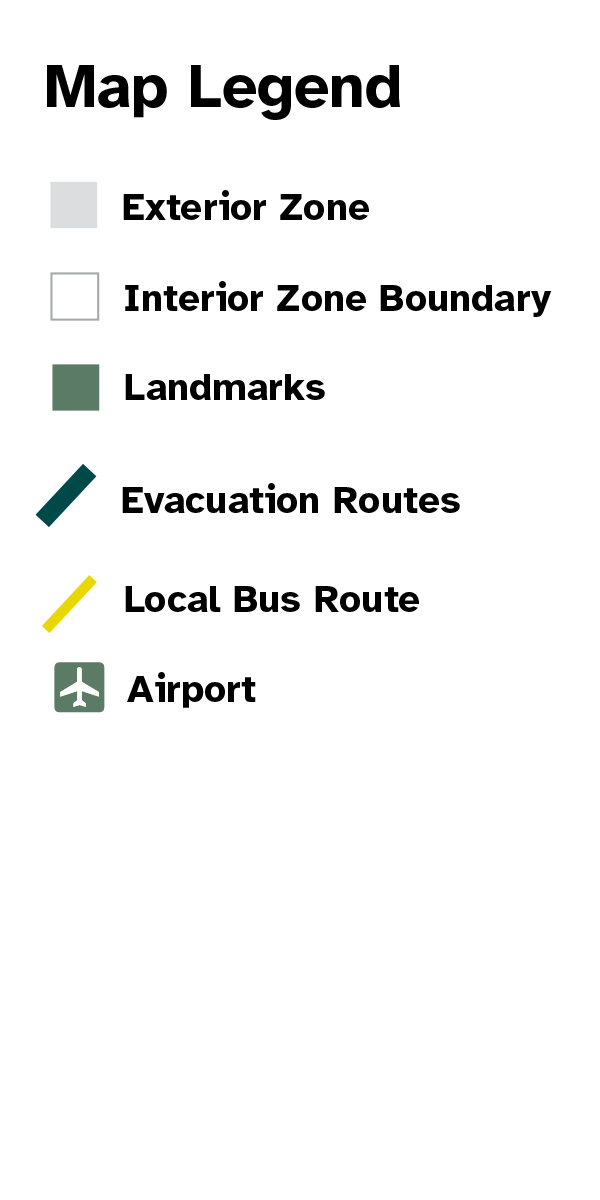
This is a map of Sacramento County evacuation zone number 16, called Sacramento International Airport. It is in the northwest region of the county and encompasses all of Sacramento International Airport with the airport boundary fence to the west, West Elverta Road to the north, Powerline Road to the east, and interstate 5 to the south. A significant landmark within this zone is Sacramento International Airport. There are no train tracks or bus routes in this zone. Major east and west evacuation routes are West Elverta Road and North Bayou Road. North and south evacuation routes are Powerline Road, Earnhart Drive, and Pritchard Avenue.
Download a printable Zone 16 map
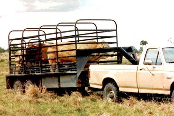
Need to move livestock to a safer location?
Download a printable Zone 16 livestock evacuation map.
Translated Maps