Know Your Way Out
Familiarize yourself with major routes out of your neighborhood in case of a evacuation.
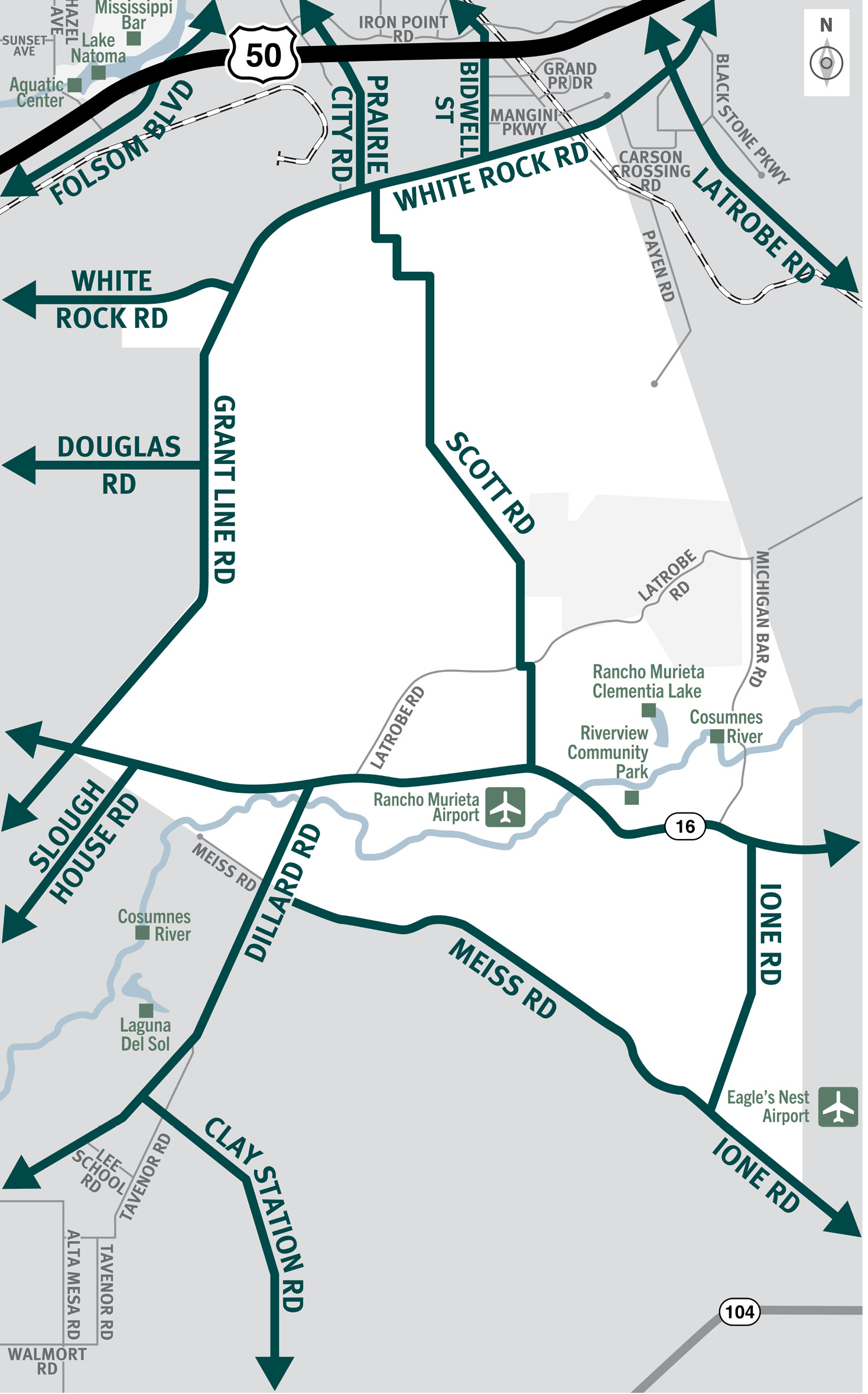

This is a map of Sacramento County evacuation zone number 84, called Slough House and Rancho Murieta. It is in the eastern region of the county and is bordered by Grant Line Road to the west, White Rock Road to the north, Payen Road, Michigan Bar Drive, and Ione Road to the east, and Meiss Road to the south. Significant landmarks within this zone are the Rancho Murieta Communities and Horse Stables, Riverview Community Park, Rancho Murieta Clementia Lake, and Consumnes River. There are no bus routes in this zone. There are train tracks in the most northeastern area of this zone. Major east and west evacuation routes are White Rock Road, Highway 16, and Meiss Road. North and south evacuation routes are Grant Line Road, Scott Road, and Ione Road.
Download a printable Zone 84 map
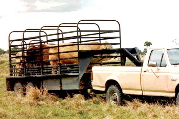
Need to move livestock to a safer location?
Download a printable Zone 84 livestock evacuation map.
Translated Maps