Know Your Way Out
Familiarize yourself with major routes out of your neighborhood in case of a evacuation.
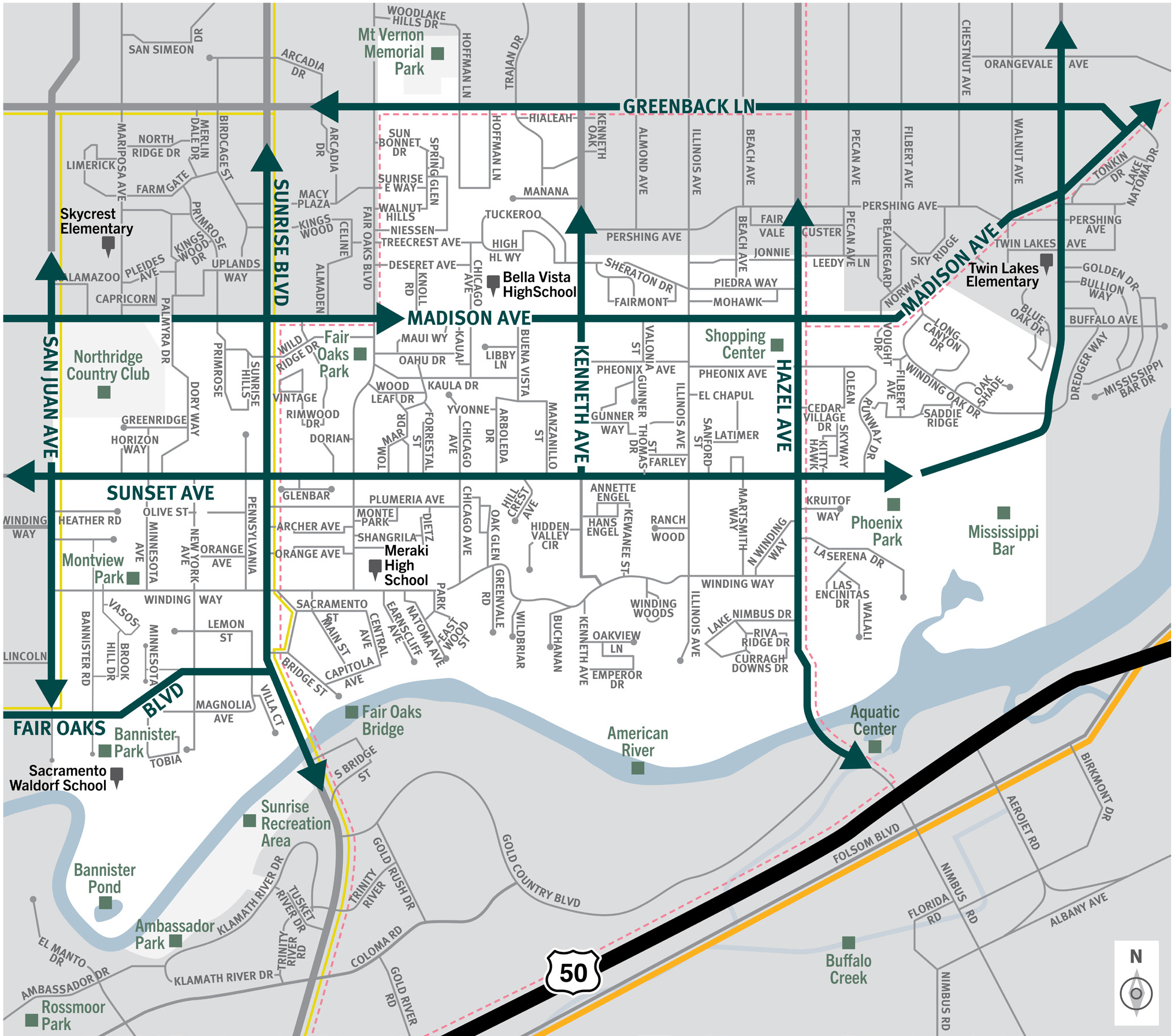

This is a map of Sacramento County evacuation zone number 31, called Fair Oaks. It is in the northeast region of the county and is bordered by San Juan Avenue to the west, Madison Avenue and Mt. Vernon Memorial Park to the north, Mississippi Bar to the east, and American River to the south. Significant landmarks within this zone are the Northridge Country Club, Montview Park, Fair Oaks Park, Banister Pond, Fair Oaks Bridge, the American River, Mississippi bar, and Phoenix Park. There are no train tracks in this zone. There are bus routes in the western area of this zone. There are peak-only bus routes in the west and east side of the zone. Major east and west evacuation routes are Greenback Lane, Madison Avenue, Sunset Avenue, and Fair Oaks Boulevard. North and south evacuation routes are San Juan Avenue, Sunrise Boulevard, Kenneth Avenue, and Hazel Avenue.
Download a printable Zone 31 map
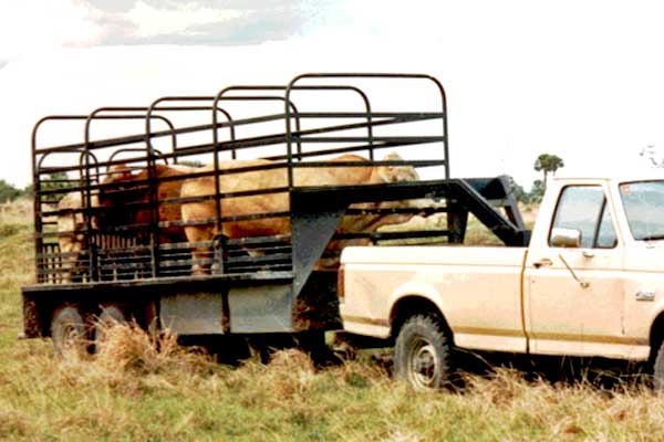
Need to move livestock to a safer location?
Download a printable Zone 31 livestock evacuation map.
Translated Maps